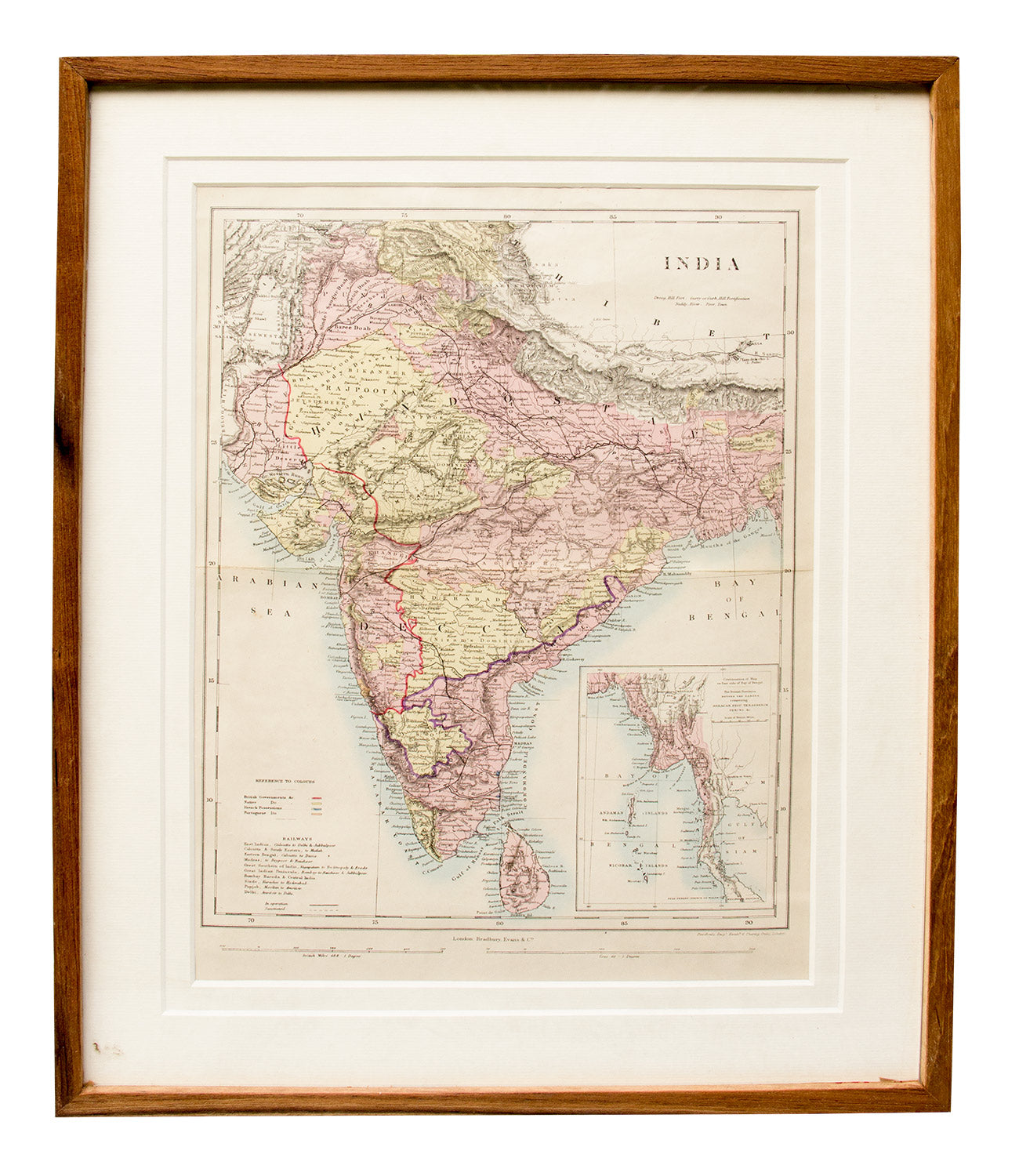
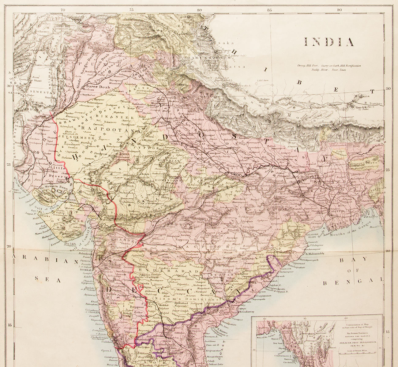
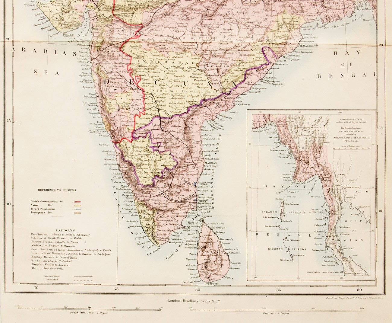
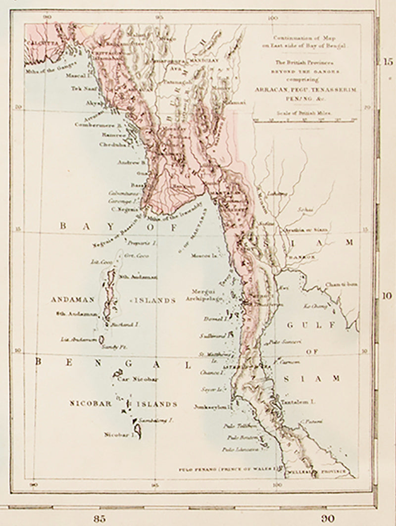
This old map of India and Ceylon, featuring an inset map of Burma, was made in 1850, by Stanford's Geographical Establishment, 6 Charing Cross Road, London. It was published by Bradbury, Evans & Co. London. The map has a fold across the centre from left to right but is otherwise in good condition. It comes with a certificate of authenticity and has a wooden frame and glass covering.
Delivery
You may also like
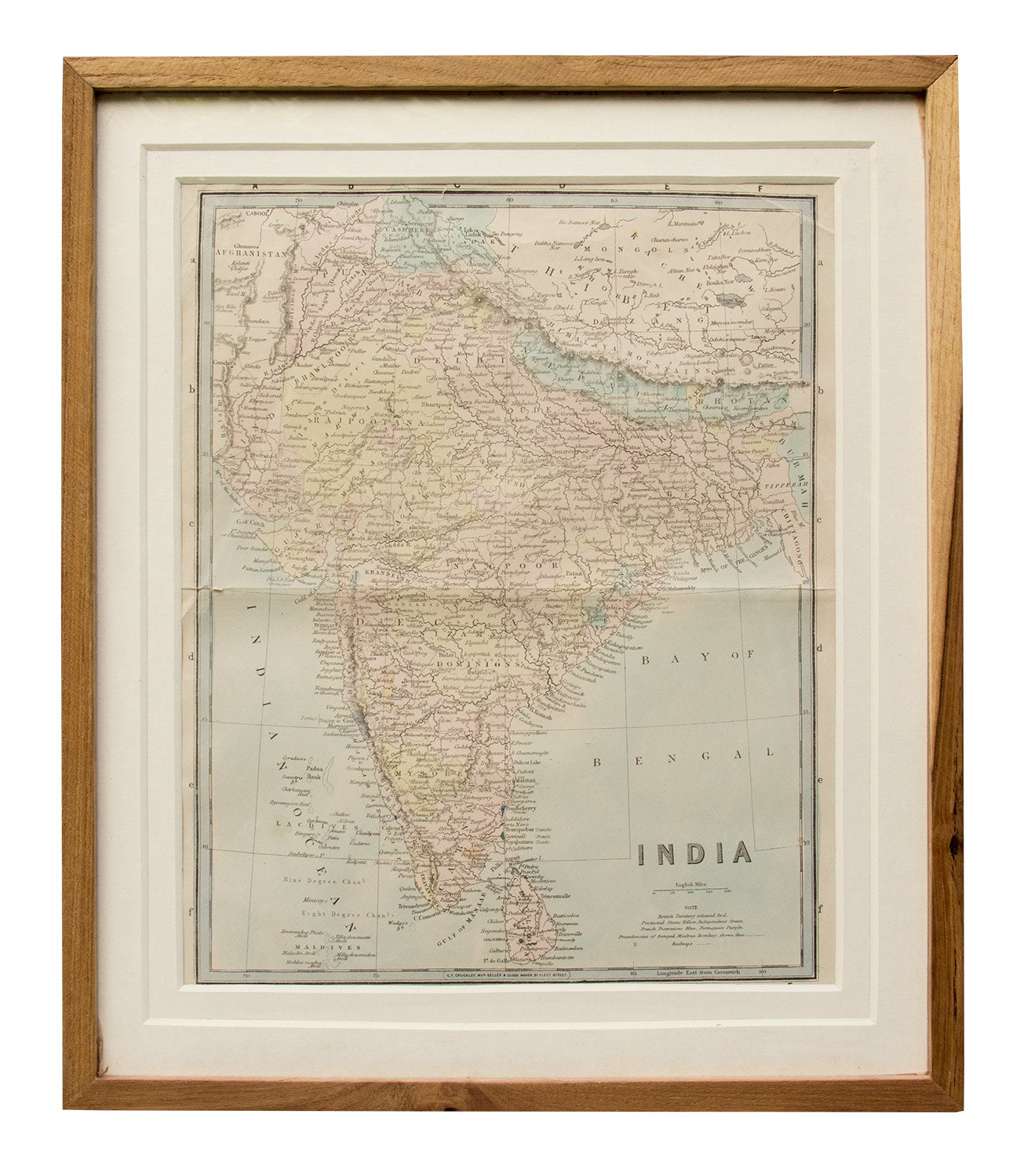
Map of India, 1870
Artisera
₹18,000
out of stock
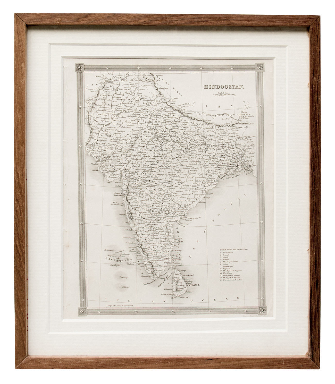
Map of India, 1841
Artisera
₹15,000
out of stock
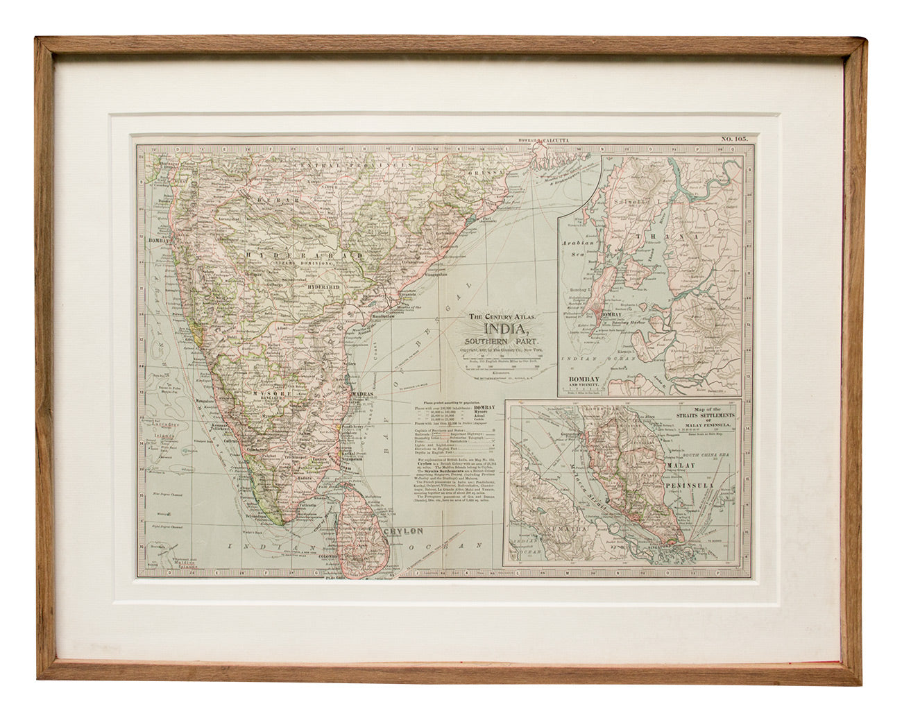
Map of Southern India, 1897
Artisera
₹22,000
out of stock
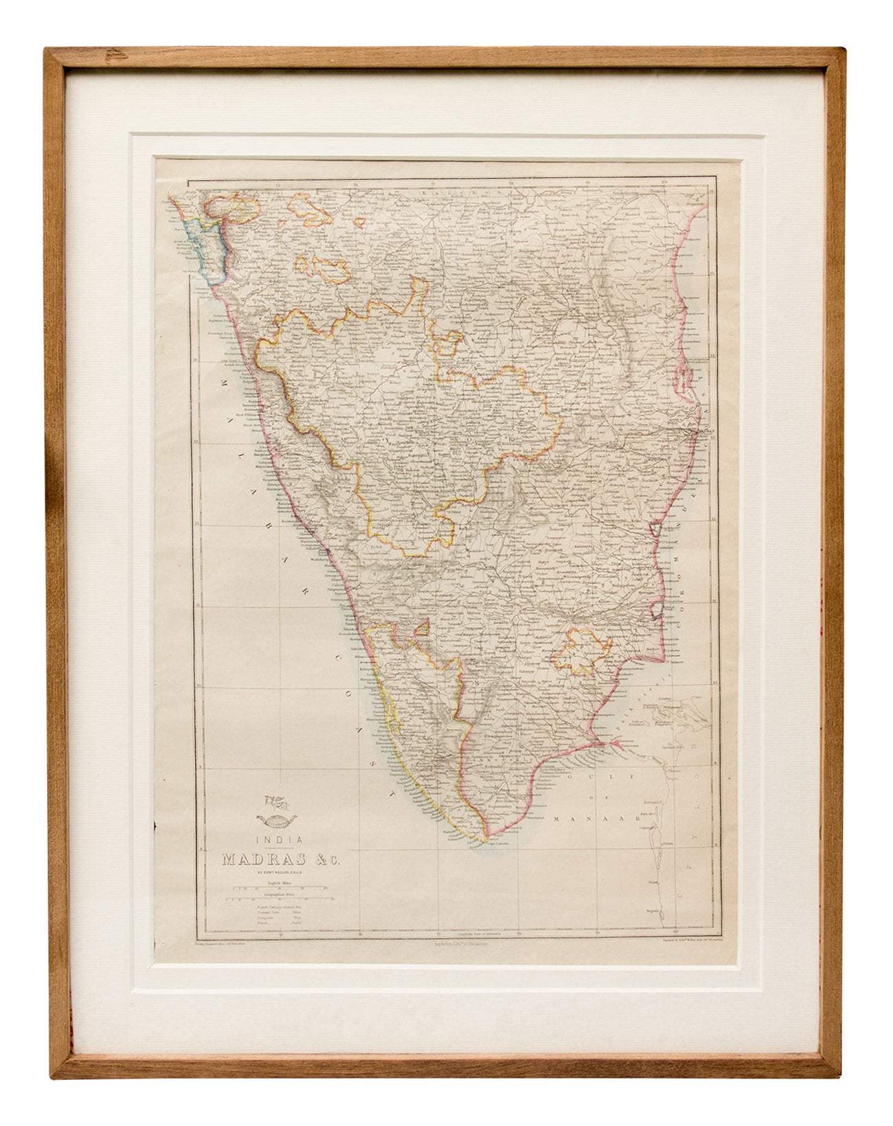
Map of Madras and Surrounds, 1863
Artisera
₹22,000
out of stock
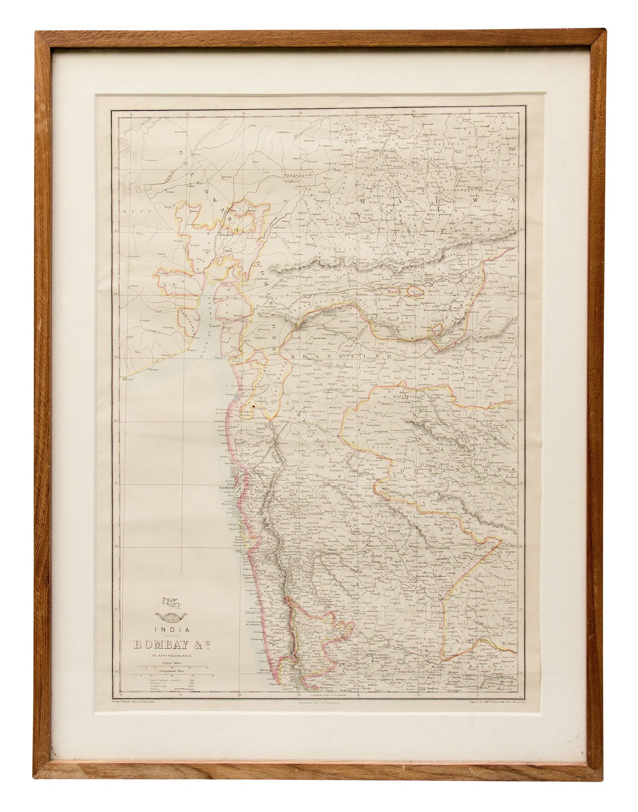
Map of Bombay and Surrounds, 1890s
Artisera
₹15,000
out of stock
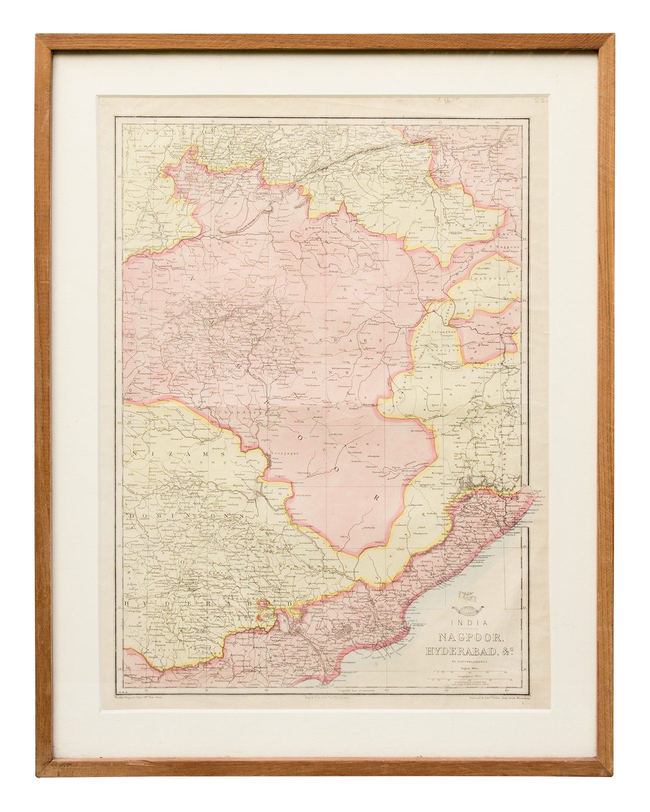
Map of Nagpoor and Hyderabad
Artisera
₹0
out of stock
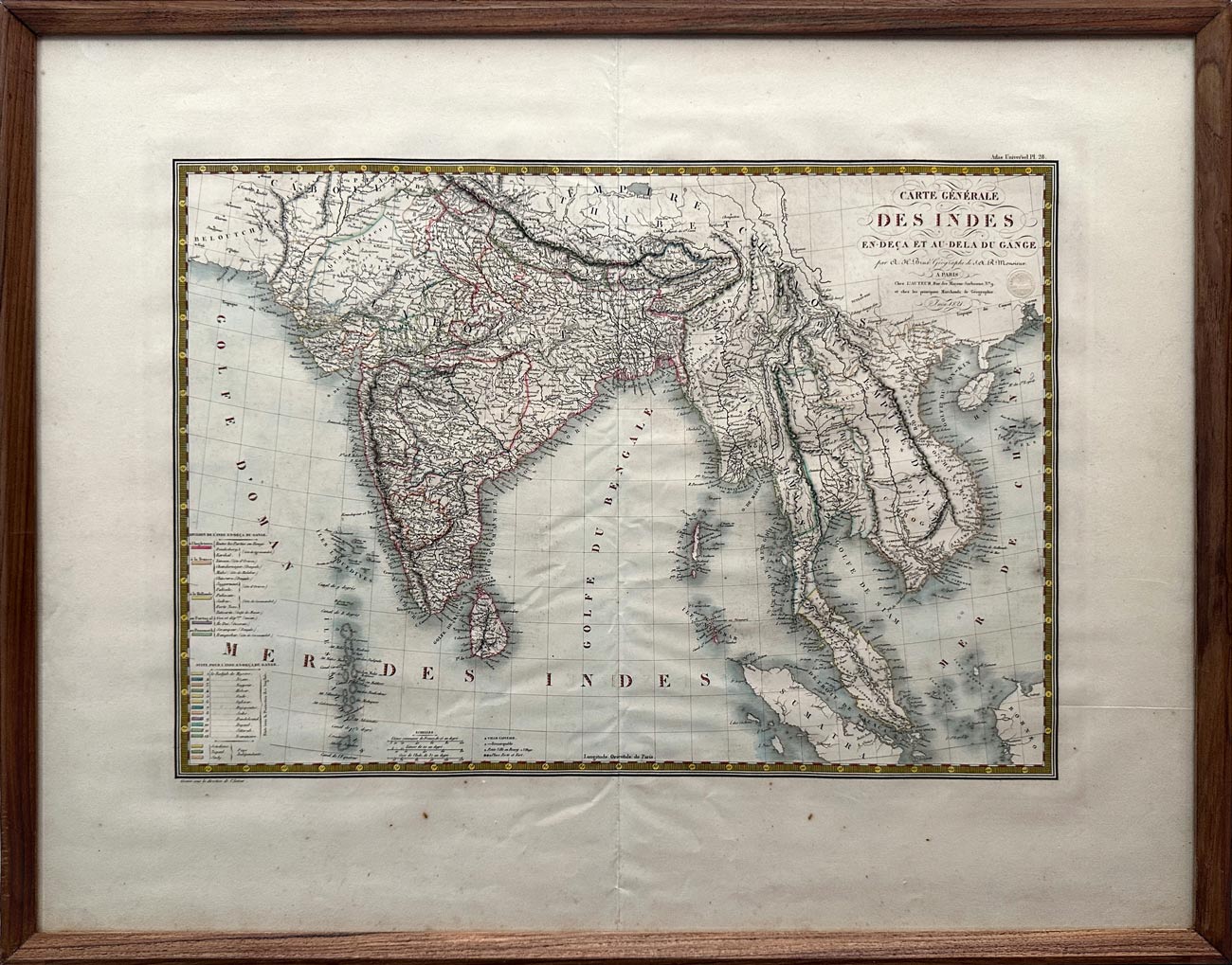
Map of India Below and Beyond the Ganges, 1821
Artisera
₹112,000
out of stock
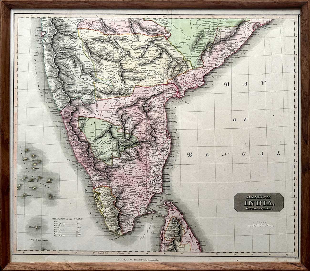
Map of “British India, Southern Part”, 1816
Artisera
₹135,000