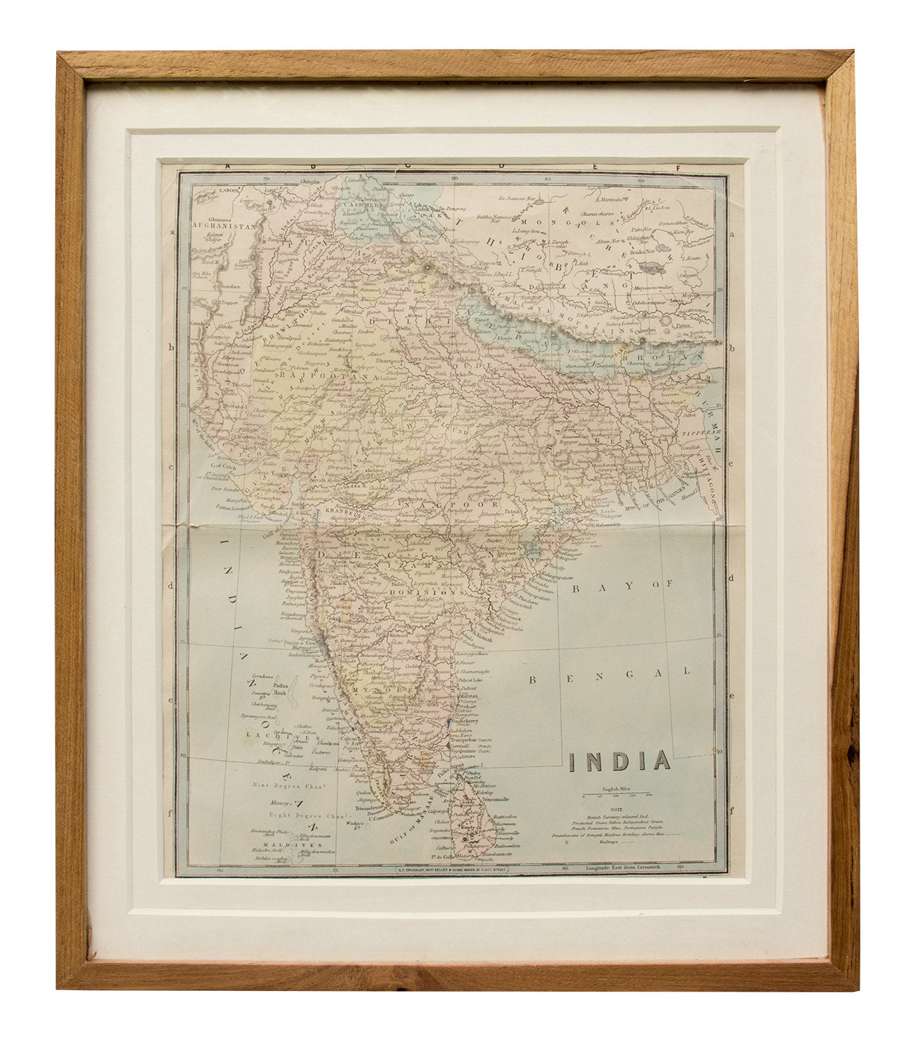
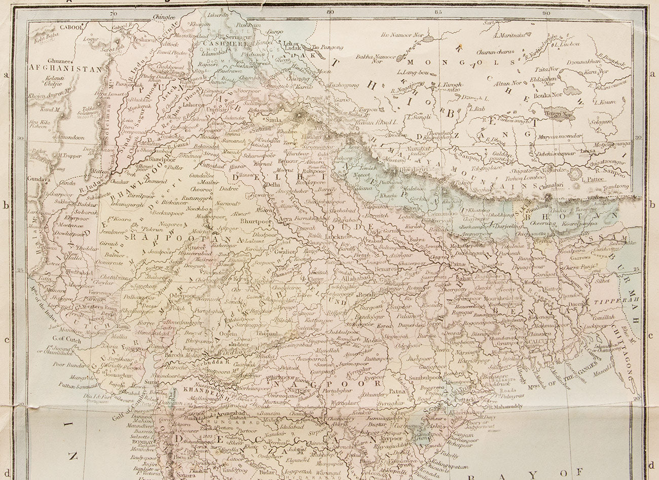
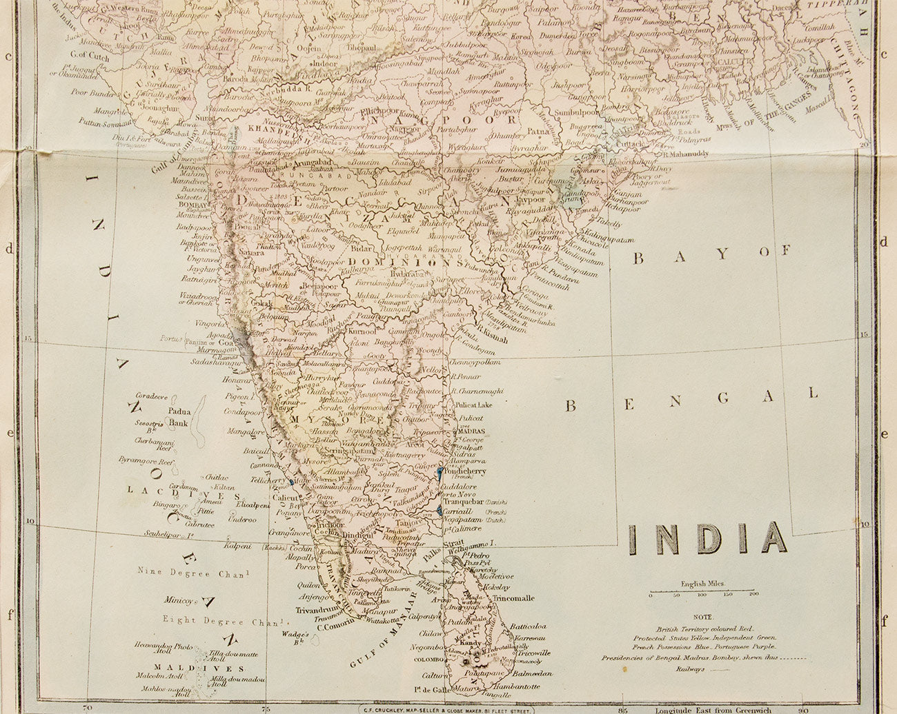
This old map of India was published in 1870. Hand-coloured and engraved, it depicts the British Territories, Protected and Independent states, and French and Portuguese Possessions in different colours, with Presidencies and Railways delineated with dotted lines. The map has a fold across the centre from left to right, and a small fold in the top right corner, otherwise it is in good condition. It comes with a certificate of authenticity, and has a wooden frame and glass covering.
Delivery
You may also like
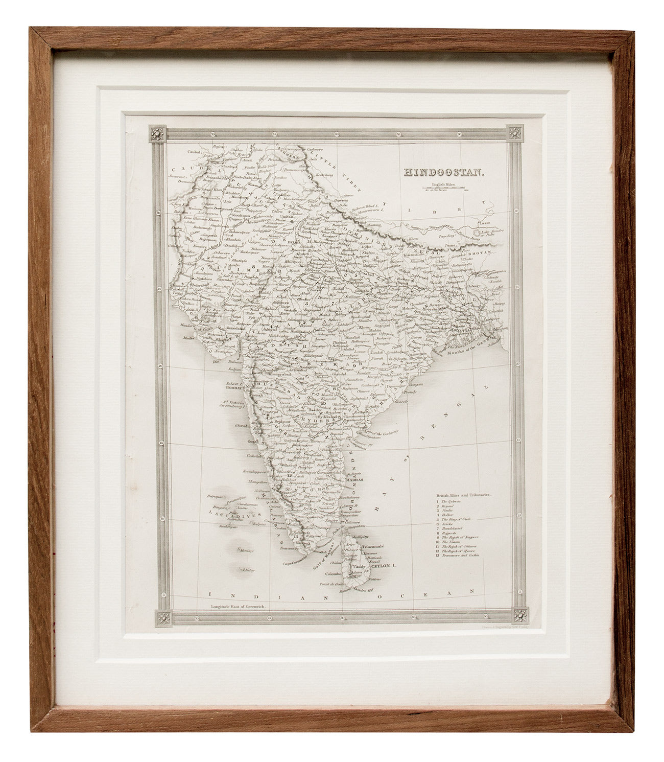
Map of India, 1841
Artisera
₹15,000
out of stock
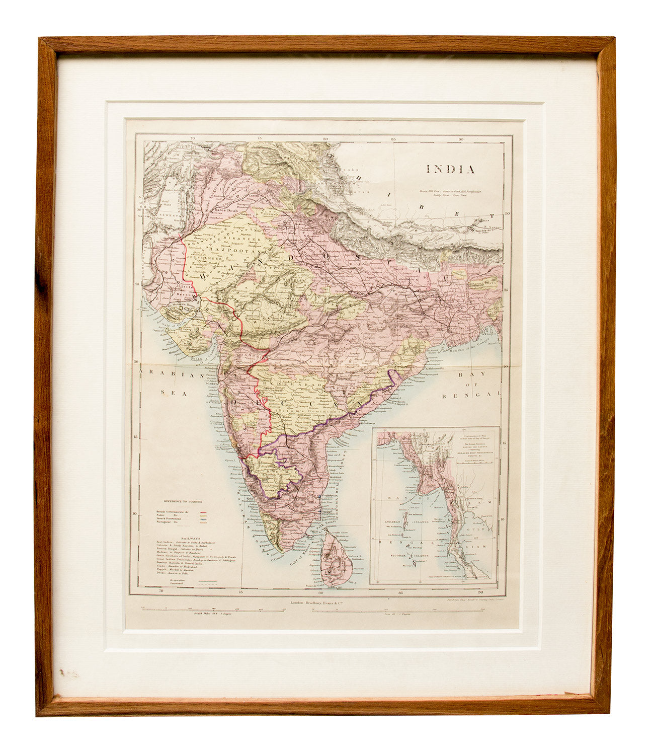
Map of India, Ceylon and Burma, 1850
Artisera
₹18,000
out of stock
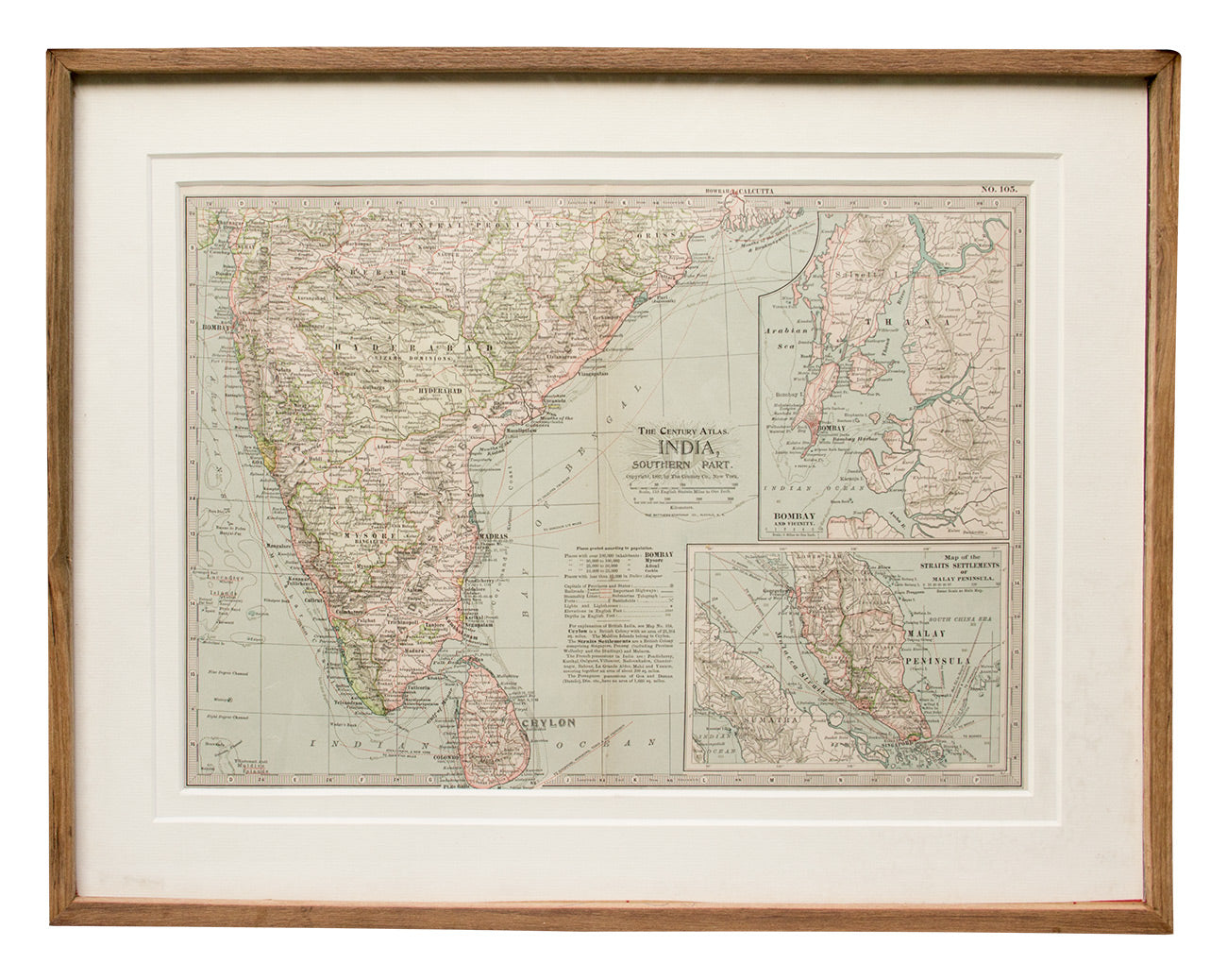
Map of Southern India, 1897
Artisera
₹22,000
out of stock
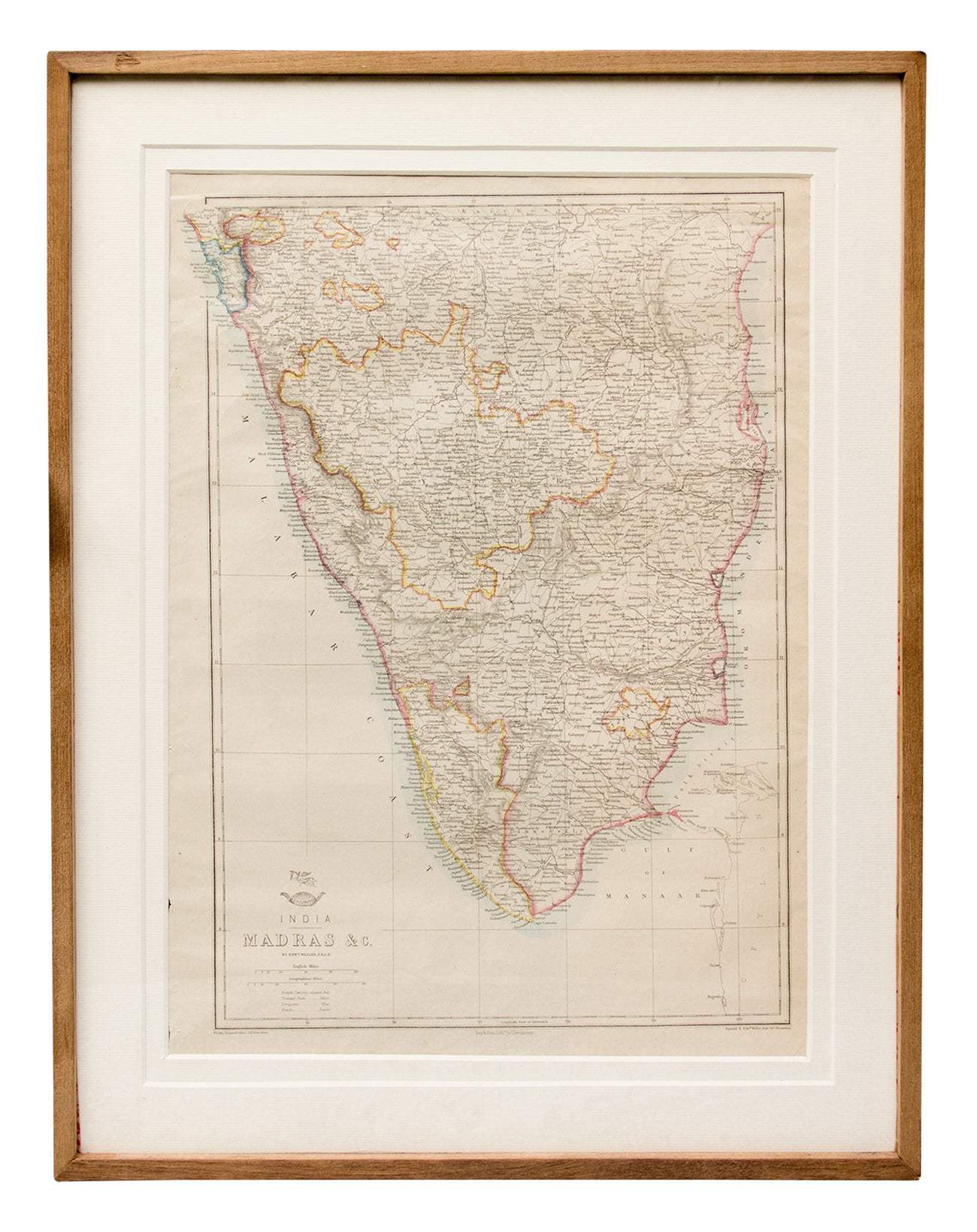
Map of Madras and Surrounds, 1863
Artisera
₹22,000
out of stock
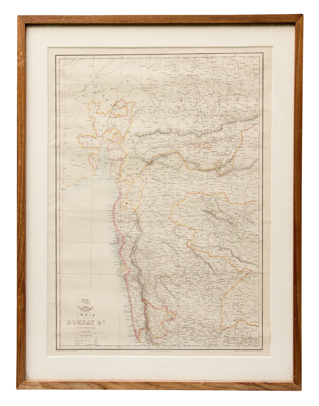
Map of Bombay and Surrounds, 1890s
Artisera
₹15,000
out of stock
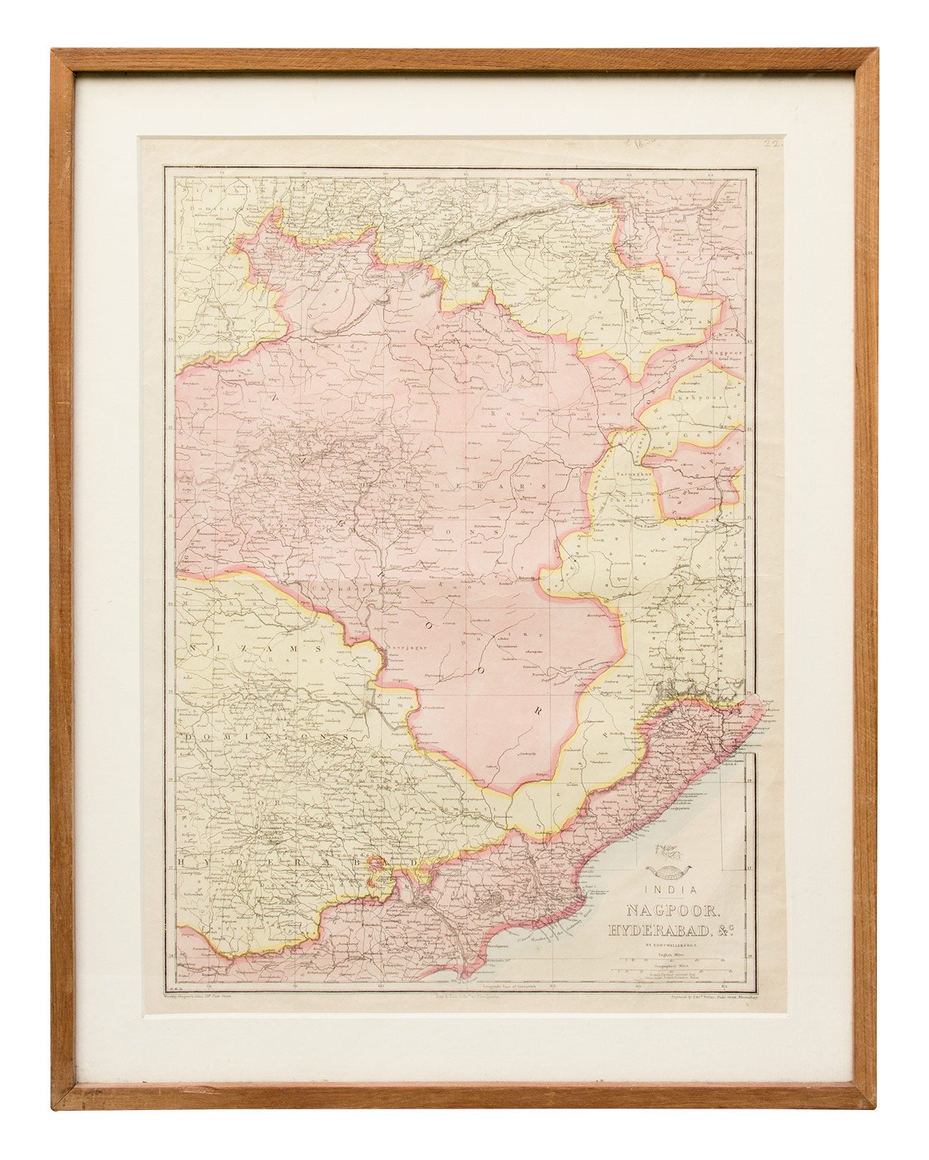
Map of Nagpoor and Hyderabad
Artisera
₹0
out of stock
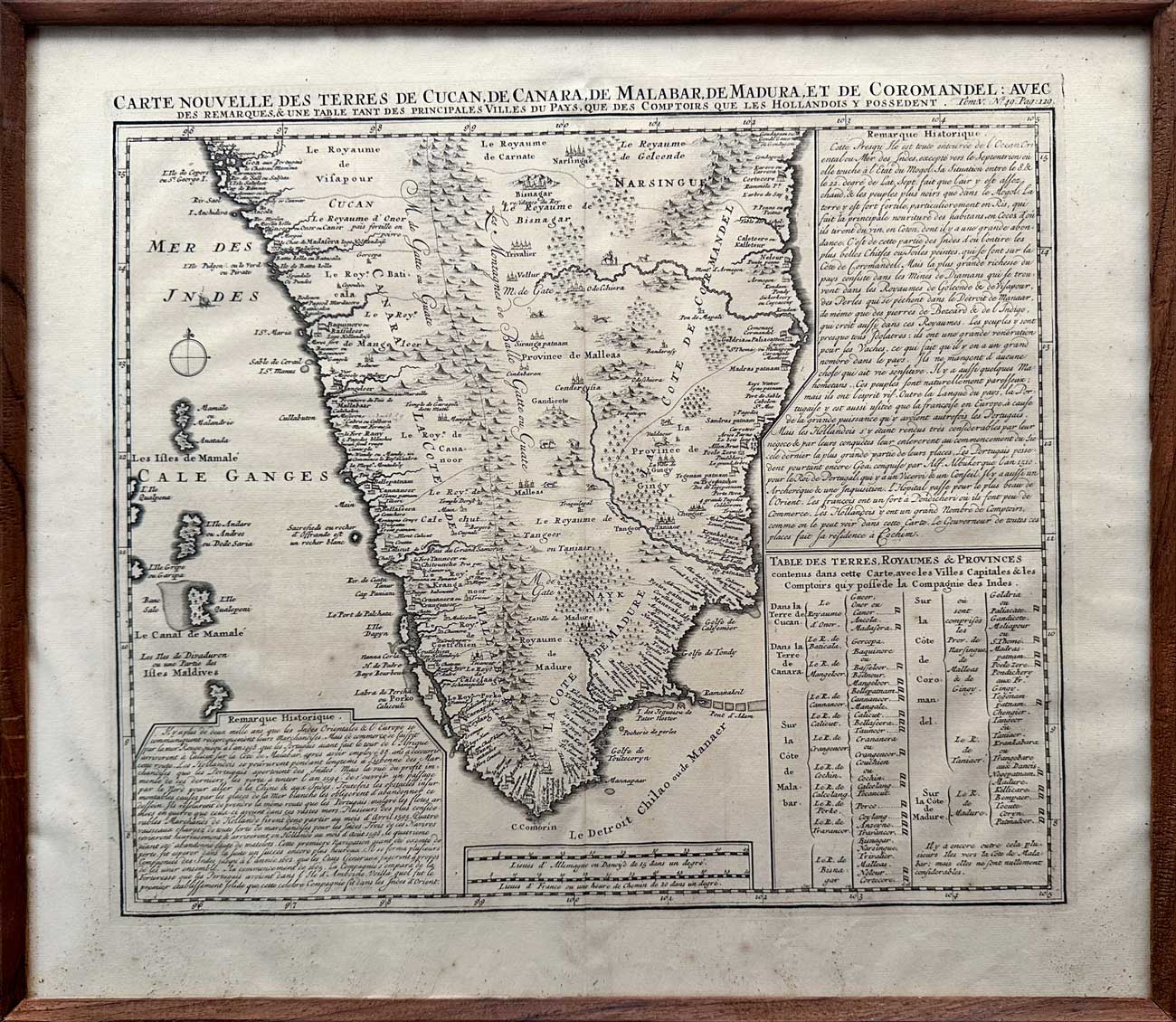
Map of South India, 1719
Artisera
₹112,000
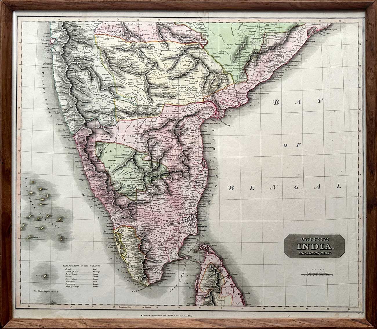
Map of “British India, Southern Part”, 1816
Artisera
₹135,000