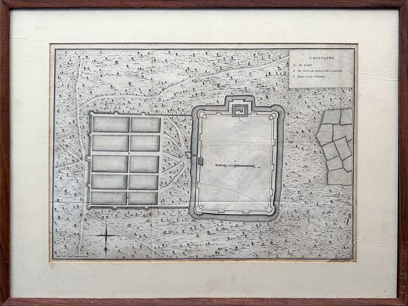
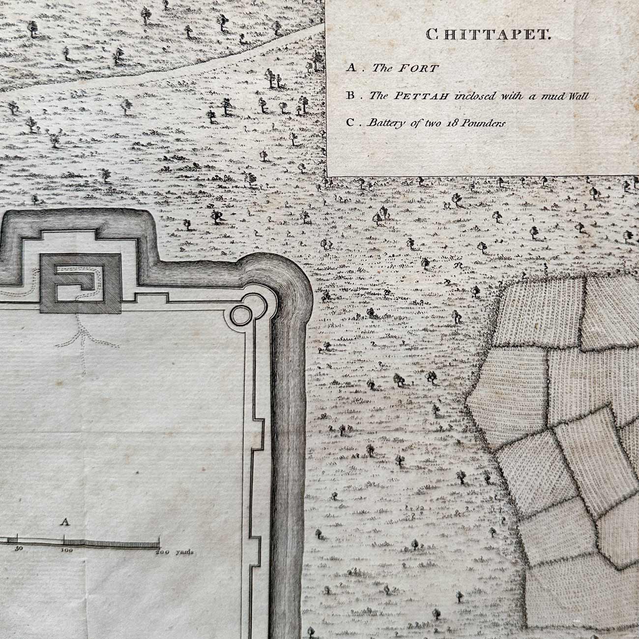
Map of Chittapet in the Third Carnatic War, 1763
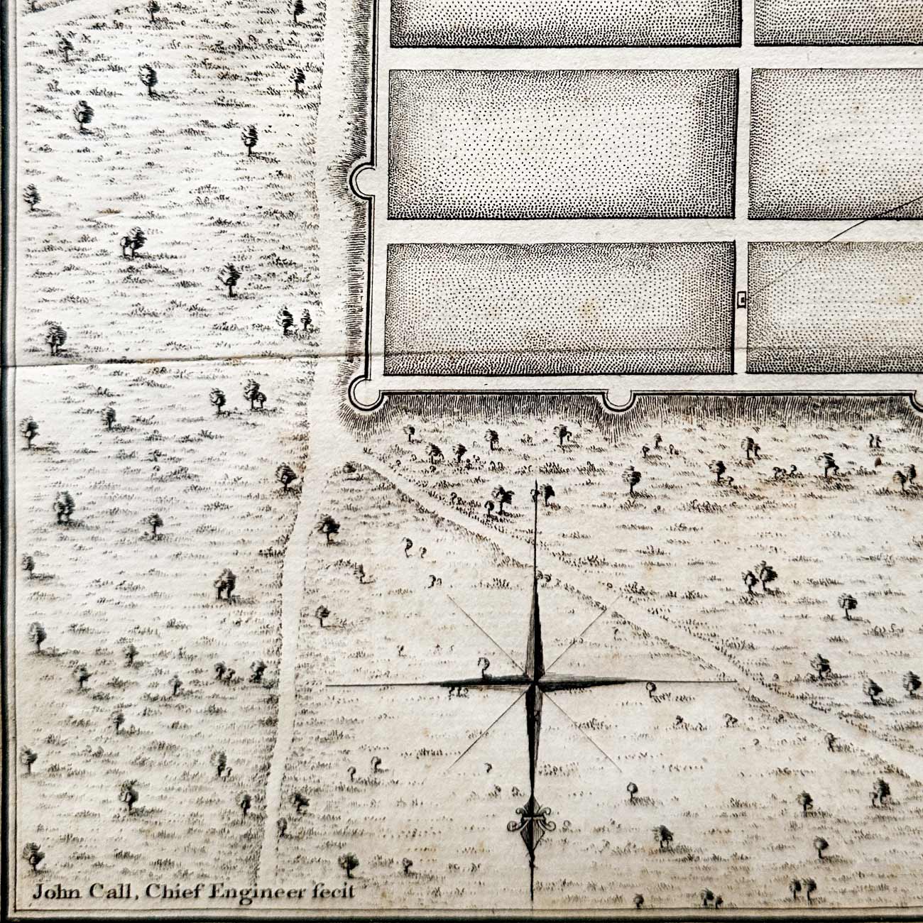
Extremely rare map of Chittapet in the third Carnatic War. It comes with a certificate of authenticity from Michael Ludgrove, art curator and former Christie's specialist. This is a copper etched plate map engraved by Sir John Call, 1st baronet. It dates from 1763. Chittapet Fort, also known as Chettipet, was a significant fort in the Carnatic region of India, located near present-day Chengalpattu, Tamil Nadu. It played a crucial role in the conflicts between European powers and Indian rulers during the 18th century, particularly during the Seven Years' War. The fort was strategically positioned on the coast of Coromandel, making it an important point of control for trade and military operations.
Sir John Call (1731-1801) was an English engineer and baronet. He came to India at the age of 17 with Benjamin Robins, the chief engineer and captain-general of artillery in the East India Company's settlements. After the death of Robins, Call became engineer-in-chief, and eventually chief engineer with a seat on the Governor's Council. Robert Clive strongly recommended Call for the Governorship of Madras, but he had to return to England on the death of his father on the 31st of December 1766.
Delivery
You may also like