Sea Chart of Ceylon, Malabar and Coromandel Coasts
₹85,000
Out of stockchecking live price…
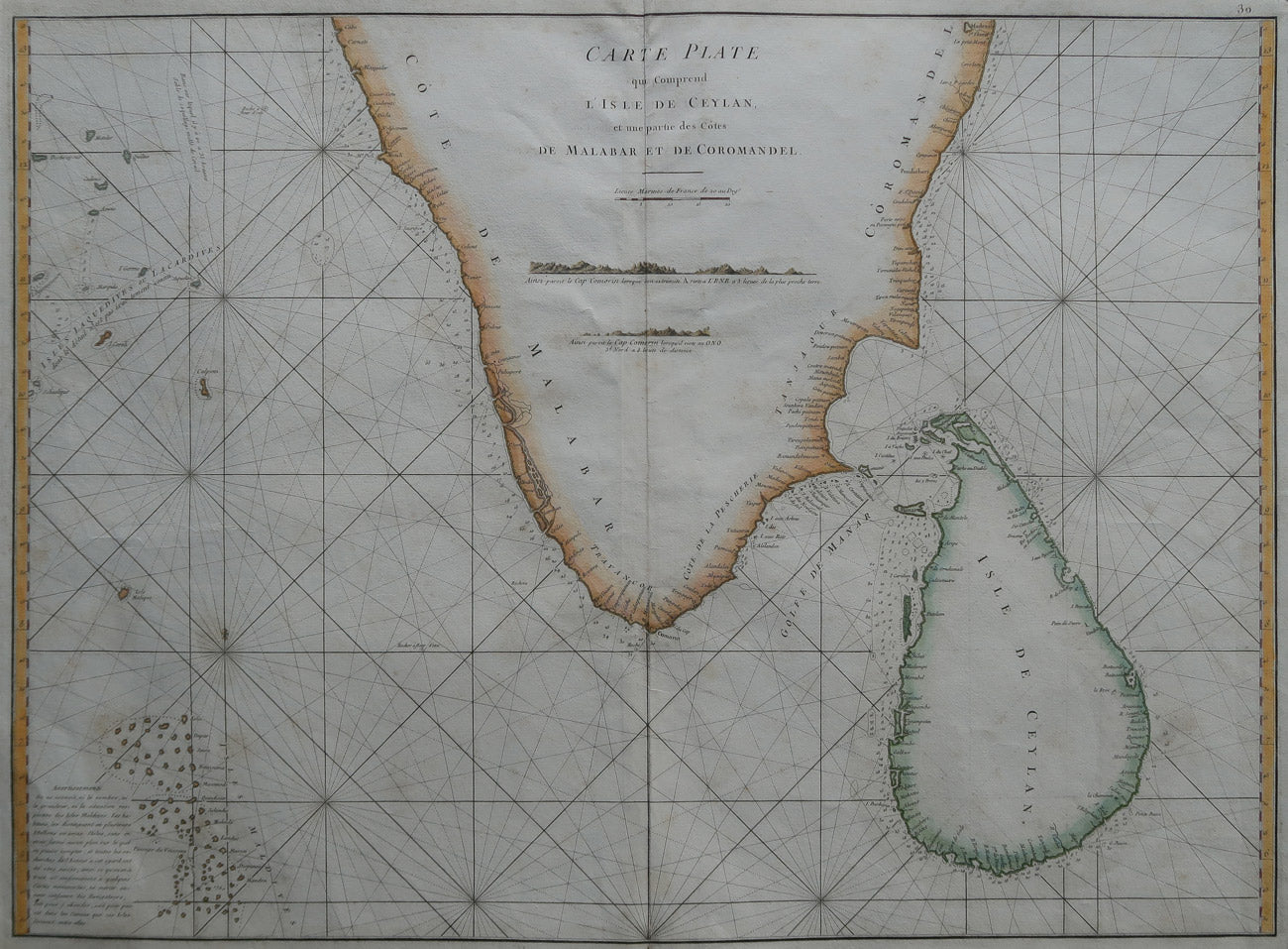
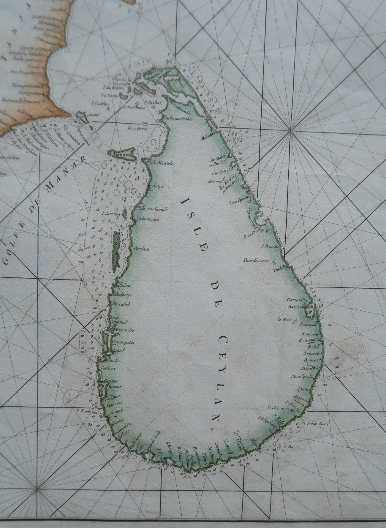
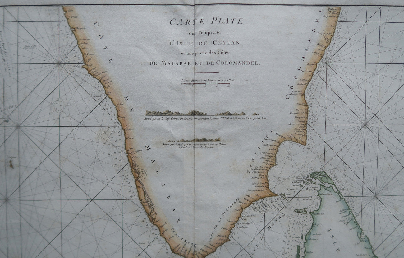
View on Artisera store ↗This is an extremely attractive large maritime map or nautical chart of southern India and Ceylon by Jean-Baptiste d'Après de Mannevillette (1697-1782), who was perhaps the most important and prolific cartographer of the 18th century.
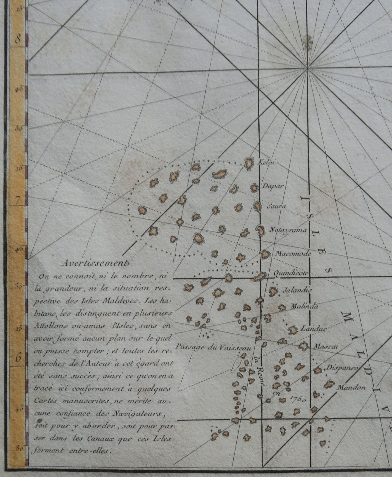
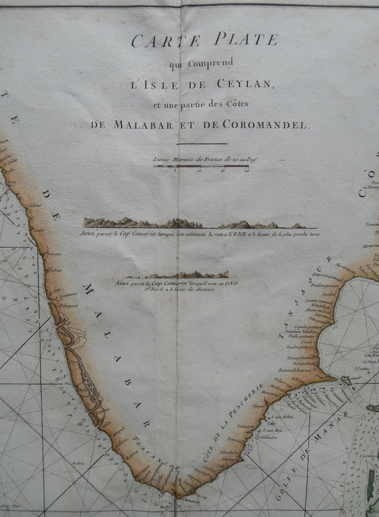
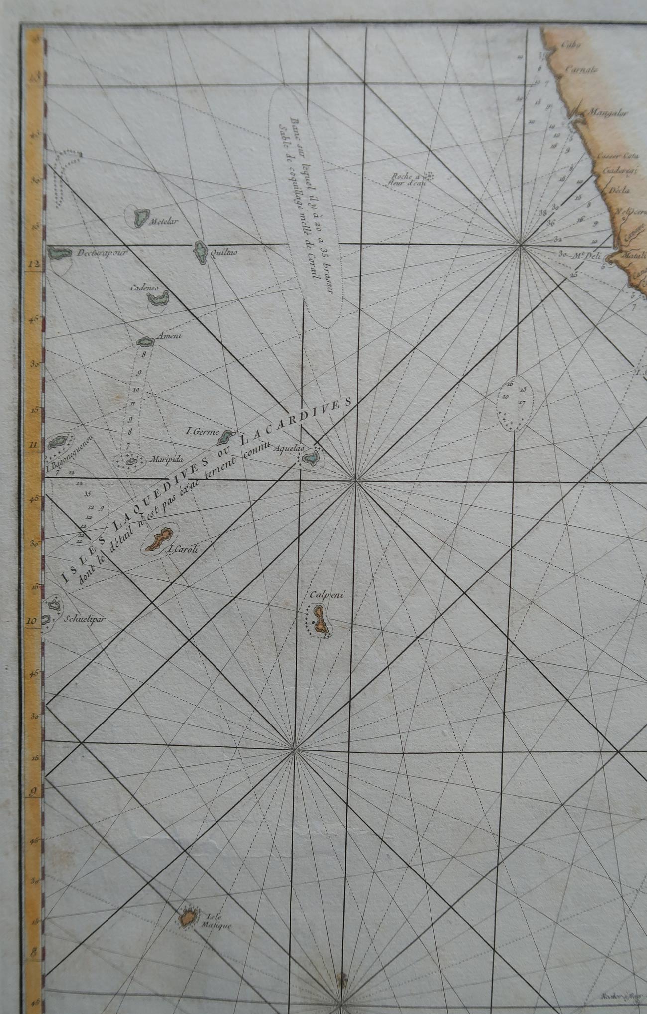
The chart covers the southern tip of India including the Malabar and Coromandel coasts as well as the Island of Ceylon (Sri Lanka) and the Maldives. It extends northwards as far as Cabo on the west coast and Madras on the east coast and westwards as far as the Maldives and Laccadive Islands. The inland detail is minimal, but marine detail is excellent with well-defined coastlines, many rhumb lines, numerous harbors and ports noted, and countless depth soundings. The chart includes two shore profiles focusing on Cape Comorin. Mannevillette's chart marks a considerable advancement over previous nautical maps of this region. It is engraved by De La Haye for Jean Baptiste d'Après de Mannevillette's, published 1775 in Le Neptune Oriental.
The chart covers the southern tip of India including the Malabar and Coromandel coasts as well as the Island of Ceylon (Sri Lanka) and the Maldives. It extends northwards as far as Cabo on the west coast and Madras on the east coast and westwards as far as the Maldives and Laccadive Islands. The inland detail is minimal, but marine detail is excellent with well-defined coastlines, many rhumb lines, numerous harbors and ports noted, and countless depth soundings. The chart includes two shore profiles focusing on Cape Comorin. Mannevillette's chart marks a considerable advancement over previous nautical maps of this region. It is engraved by De La Haye for Jean Baptiste d'Après de Mannevillette's, published 1775 in Le Neptune Oriental.
Delivery
You may also like
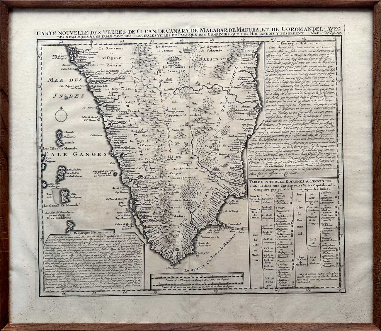
Map of South India, 1719
Artisera
₹112,000
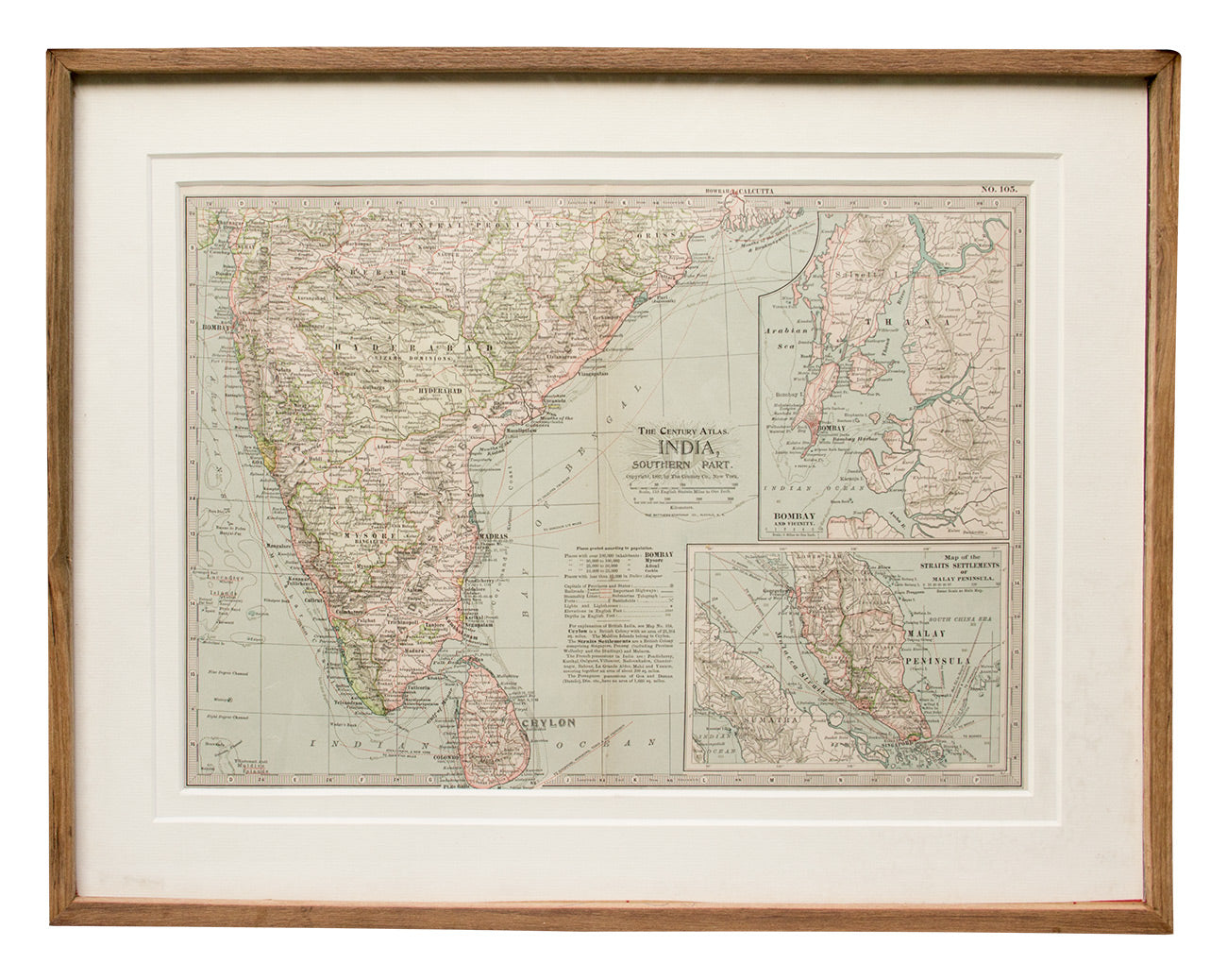
Map of Southern India, 1897
Artisera
₹22,000
out of stock
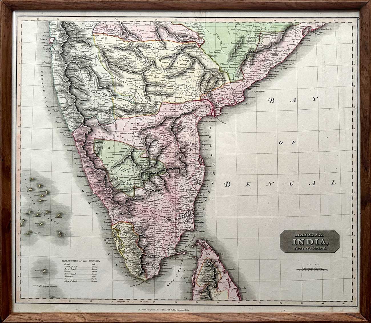
Map of “British India, Southern Part”, 1816
Artisera
₹135,000
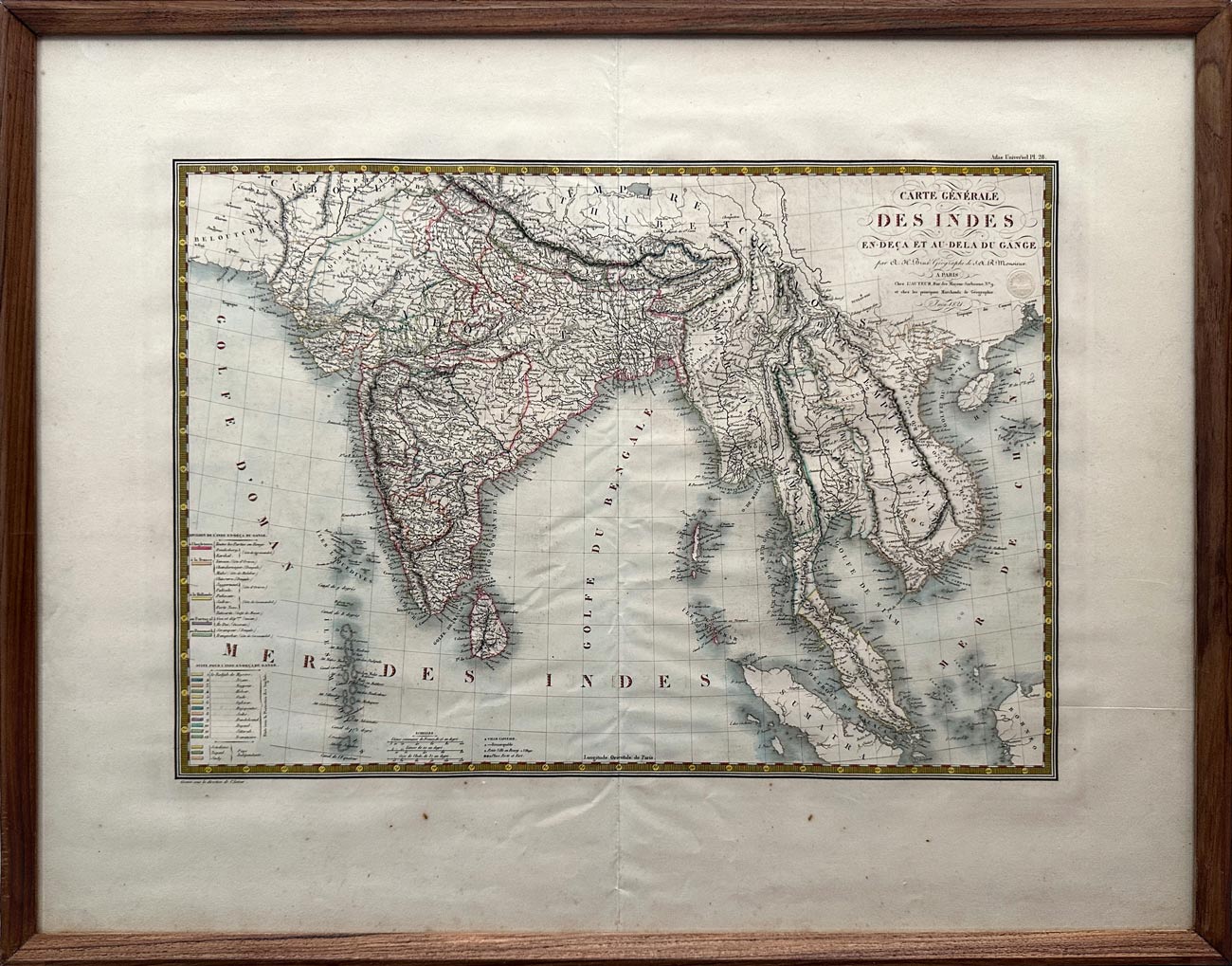
Map of India Below and Beyond the Ganges, 1821
Artisera
₹112,000
out of stock
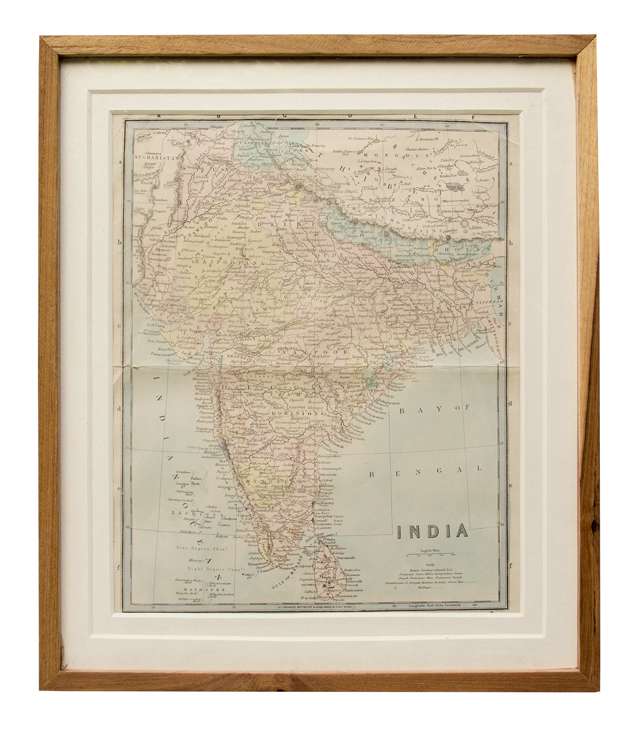
Map of India, 1870
Artisera
₹18,000
out of stock
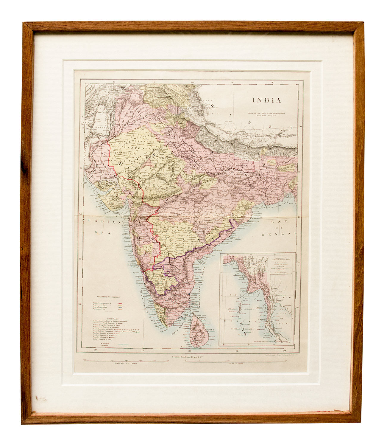
Map of India, Ceylon and Burma, 1850
Artisera
₹18,000
out of stock
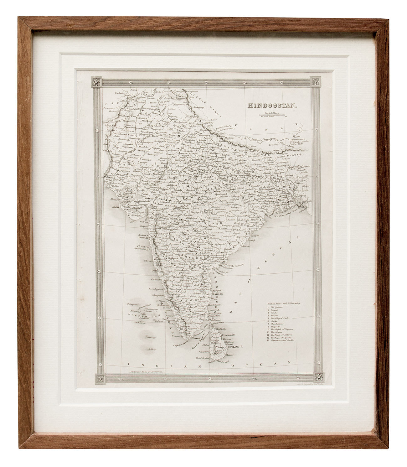
Map of India, 1841
Artisera
₹15,000
out of stock
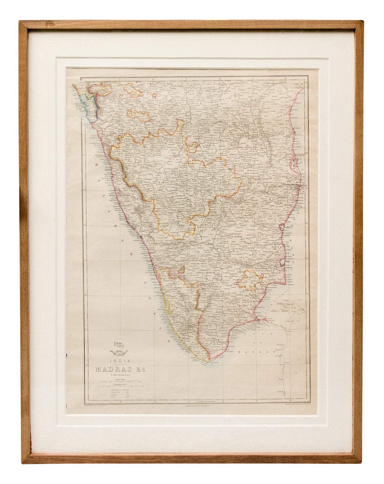
Map of Madras and Surrounds, 1863
Artisera
₹22,000
out of stock